
Cimarron Project
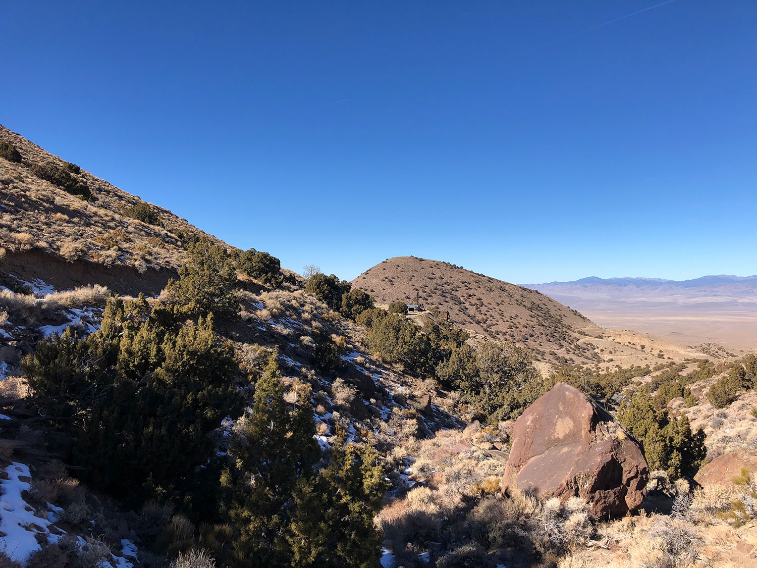
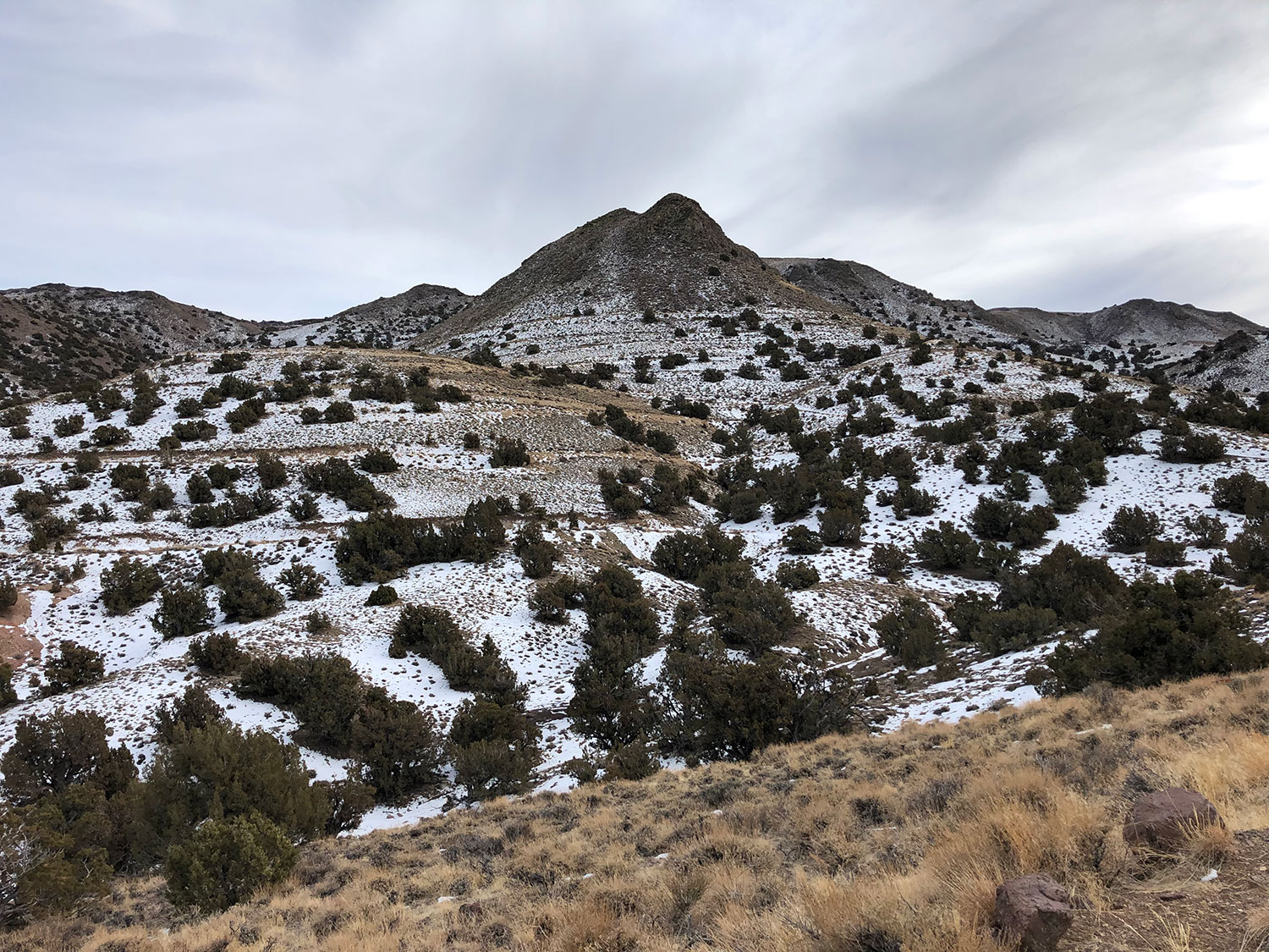
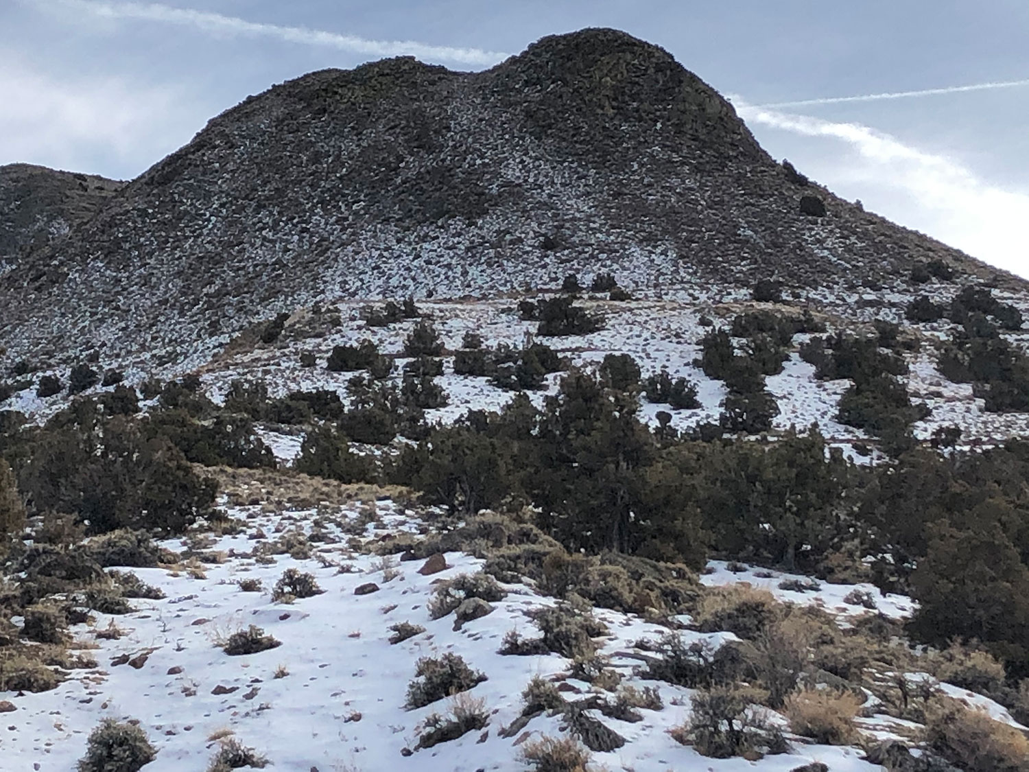
The Cimarron gold prospect is a high-grade epithermal gold target located in Nye County, Nevada approximately 30 kilometers North of the mining town Tonopah, NV.
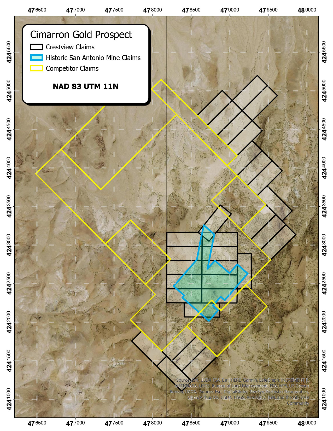
The prospect consists of 13 claims which overlap and control the 6 core claims associated with the historic San Antonio mine, and an additional 18 claims staked on the nearest open ground to the north, south, and east of the core claims.
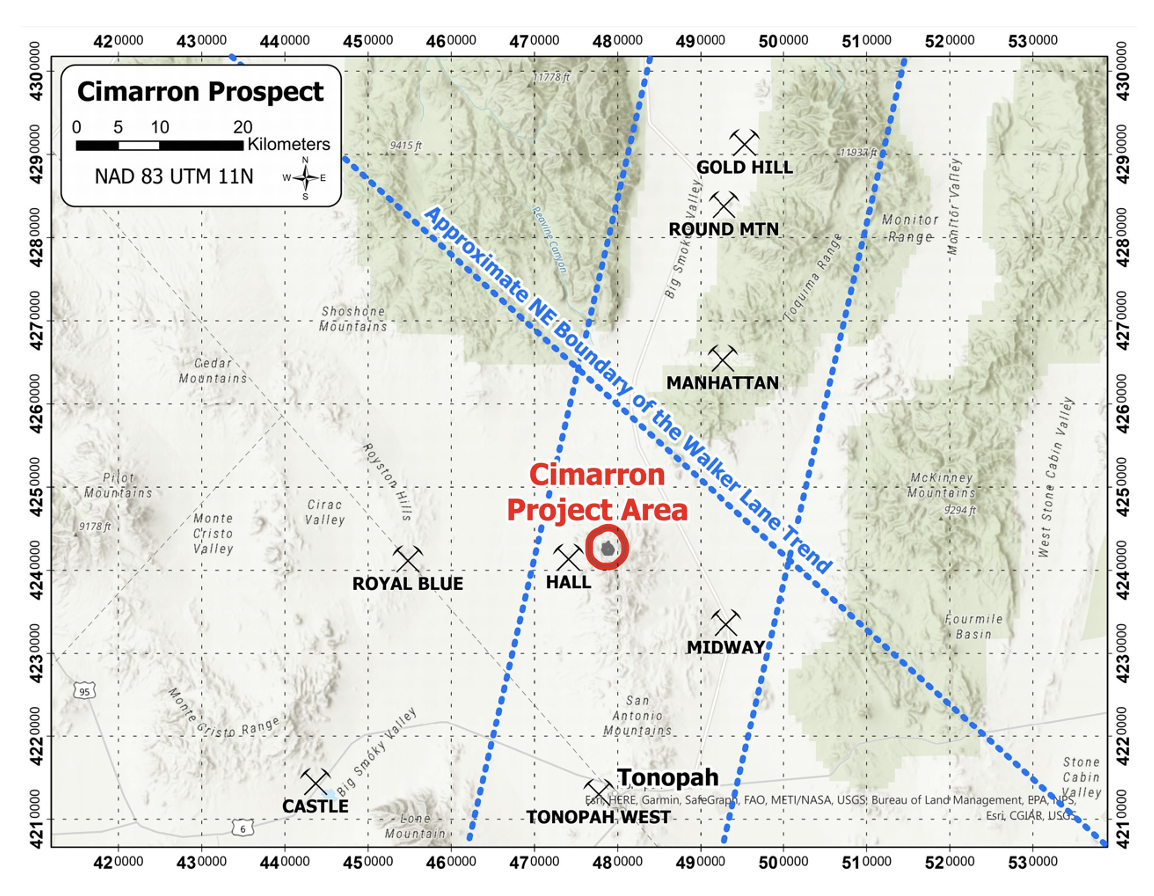
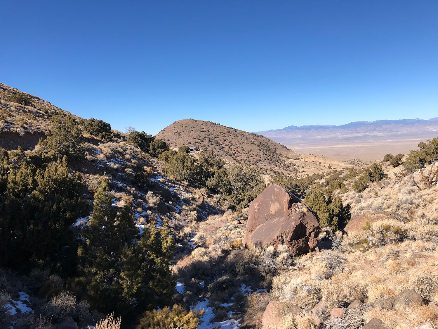
The Cimarron gold prospect is situated in the northern portion of the San Antonio Mountain Range. Regionally, the property is at the intersection of two prominent gold trends: The Walker-Lane trend which runs approximately NW and hosts a number of mines including Bullfrog, Goldfield, and Rawhide; and an approximately NNE trend of gold mines including Manhattan, Gold Hill, and the “world-class” Round Mountain – according to the Kinross website, Round Mountain’s 15 millionth ounce of gold was poured as of 2018).
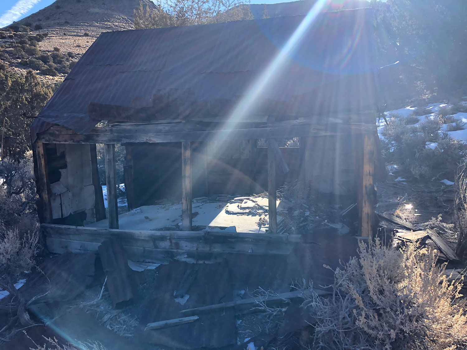
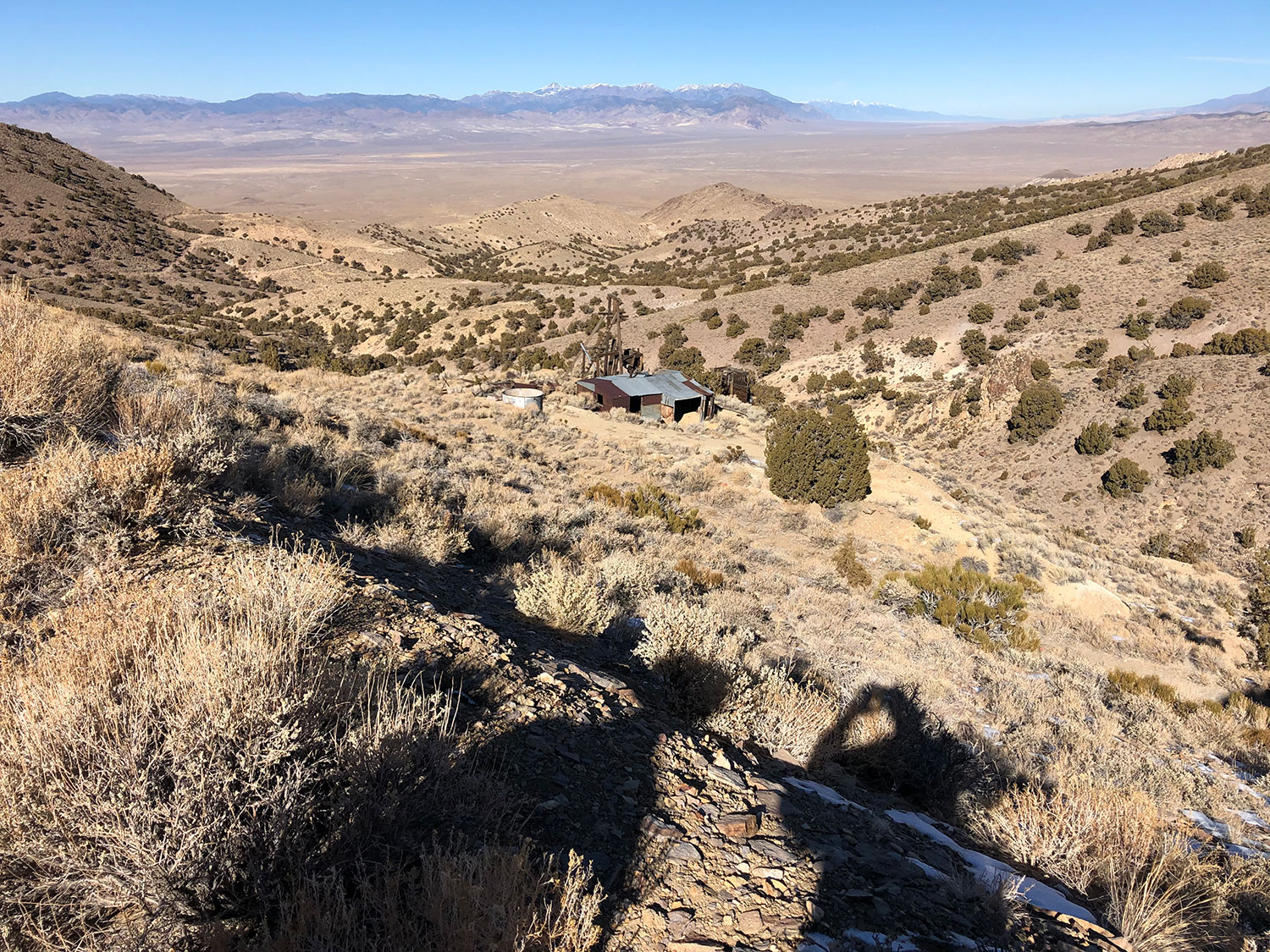
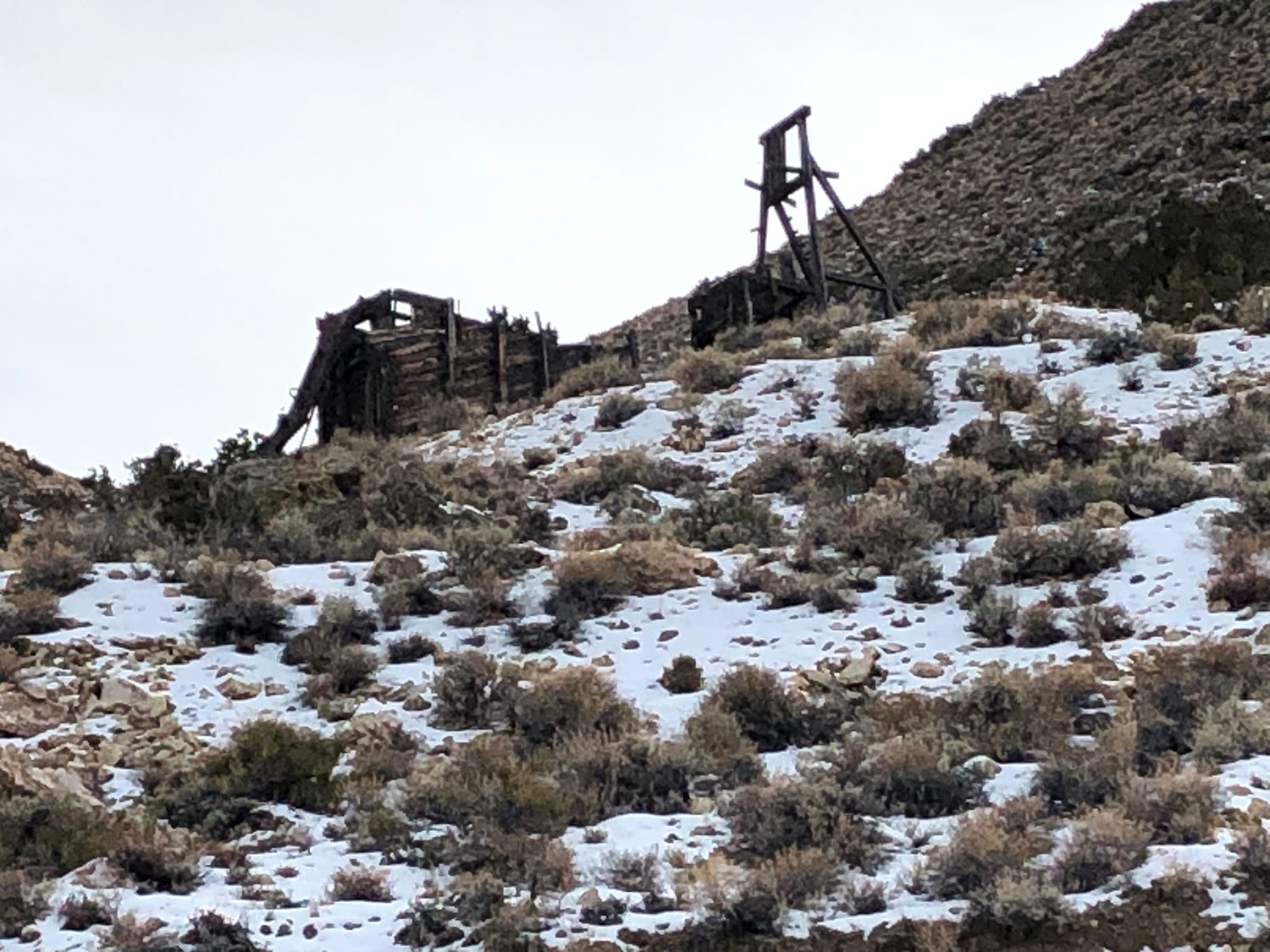
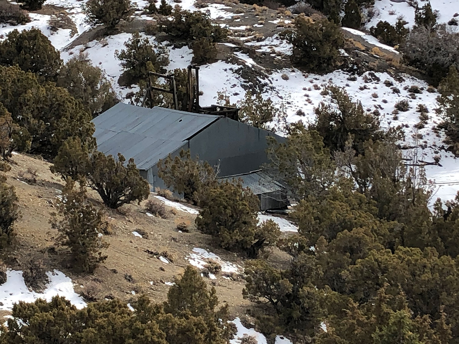
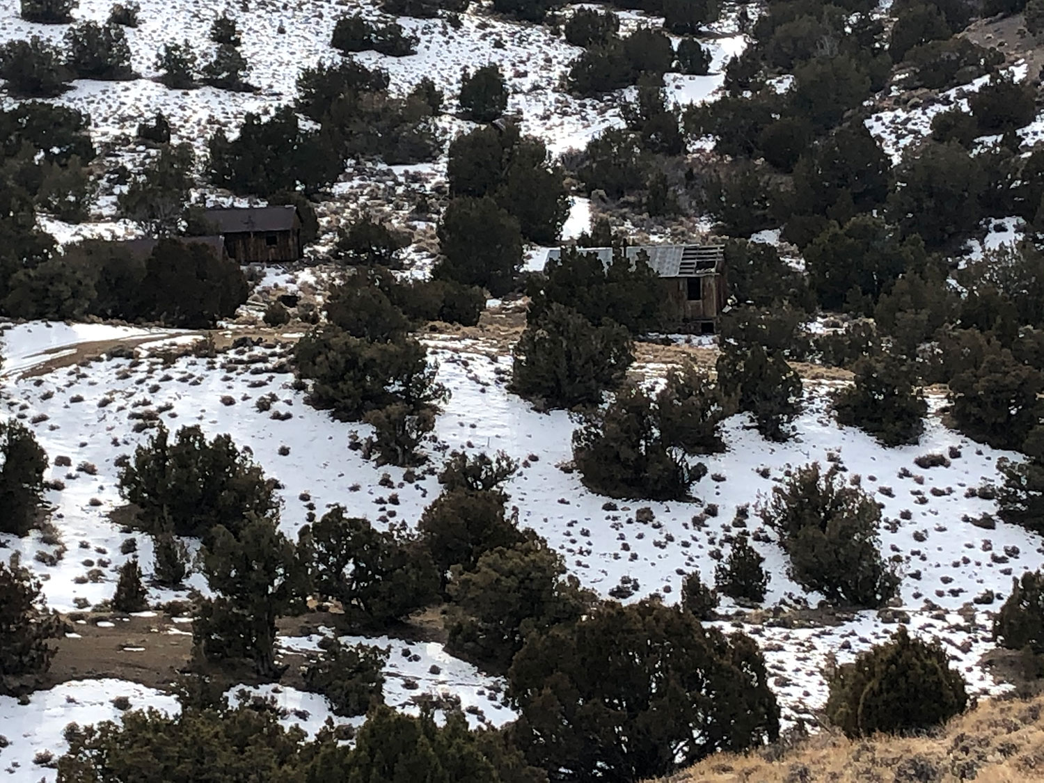
The San Antonio mine was active from the early 1900’s to the 1940’s, and the mine area received attention again in the 1980’s from a number of exploration companies including Newmont and Echo Bay. Altogether, approximately 190 holes and 54,000’ were drilled in the 1980’s, with gold intercepts greater than 1 opt encountered in several drill holes.
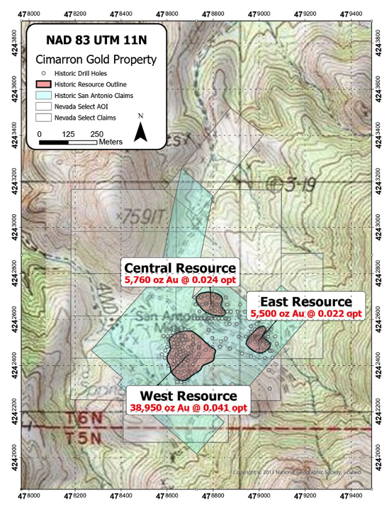
During this time, a shallow oxide gold resource was calculated and outlined, but never extracted. The historic resource outlined includes a West, Central, and East target which totals greater than 50,000 ounces of gold (see Map 2 below; reference is to an internal mining report by Peter Hahn to Budge Mining Ltd. dated February 17, 1987). The resource was never made 43-101 compliant as the data predates the practice.
The deposit is hosted in a series of Oligocene age volcanic rocks overlying Paleozoic strata, and younger Miocene age intrusions. The target is a shallow, low sulfidation oxide gold system with strong structural control. The mineralization is associated with silicification, brecciation, and iron oxides.
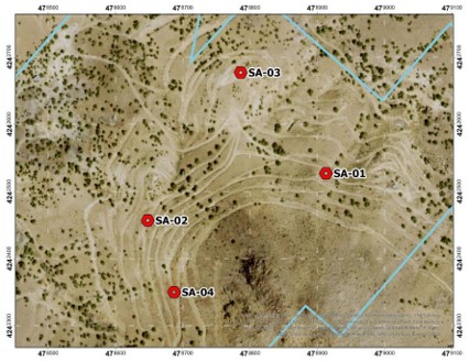
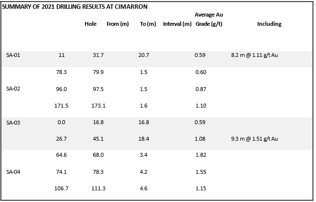
In May, 2021 Crestview conducted a core drill program in the area of the historic resource to begin to validate the historic record and begin testing deeper zones for mineralization.
SA-01 and SA-03 each intercepted significant zones of gold mineralization. SA-01 and SA-03 were drilled approximately 200 m apart, which may represent a wide area of oxide, heap-leachable gold mineralization starting at or near the surface.
SA-02 and SA-04 each intercepted three short intervals of anomalous gold mineralization at similar depths, suggesting these zones may be continuous.
The mineralized zones occur in highly fractured/faulted volcanic rocks of pyroxene andesite, welded vitric tuff, and volcanic mudflow breccia.
The mineralized zones contained abundant iron oxides (jarosite> hematite> geothite), moderate to abundant argillic alteration, minor silicification, minor propylitic alteration, and late calcite.
Stay In Touch