

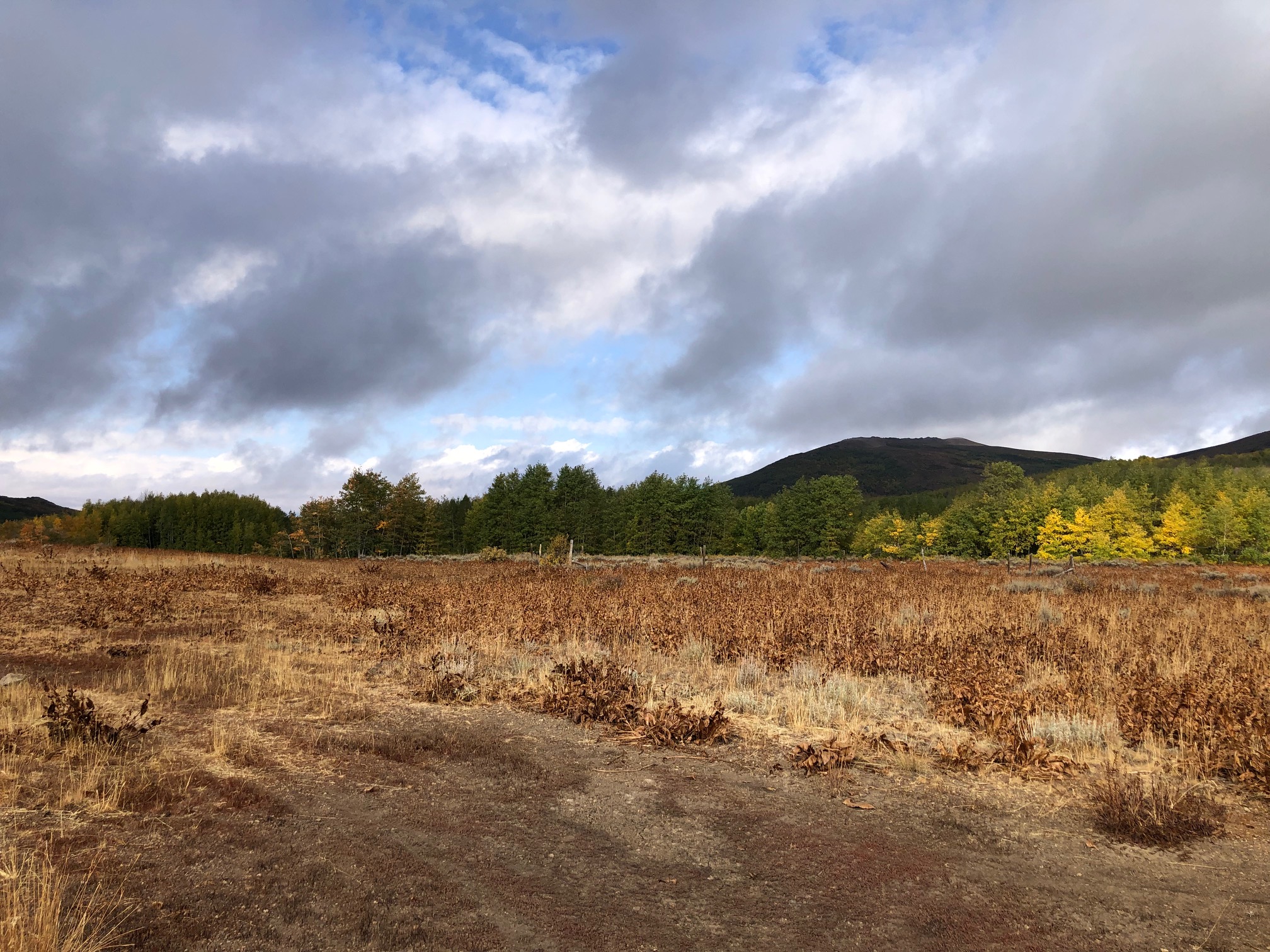
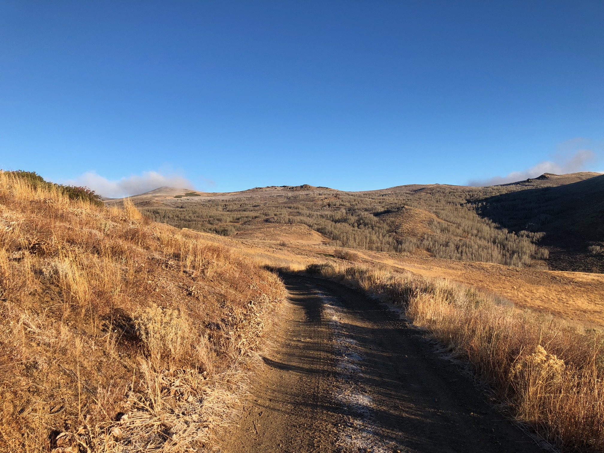
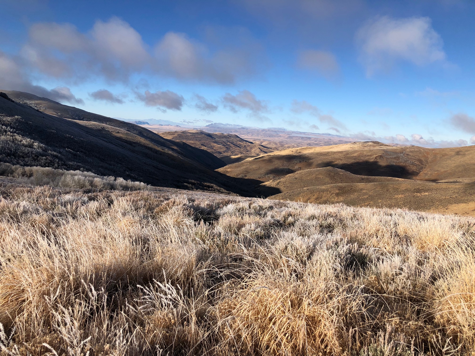
Rock Creek Project
The Rock Creek property consists of 74 unpatented lode mining claims, and is in close proximity to Crestview’s Divide and Falcon properties which comprise an additional 186 claims, for a total of approximately 2,009 hectares (4,965 acres) between the three. Small historical prospecting occurred at all three properties, and more extensive historic mining occurred at Falcon and Divide.
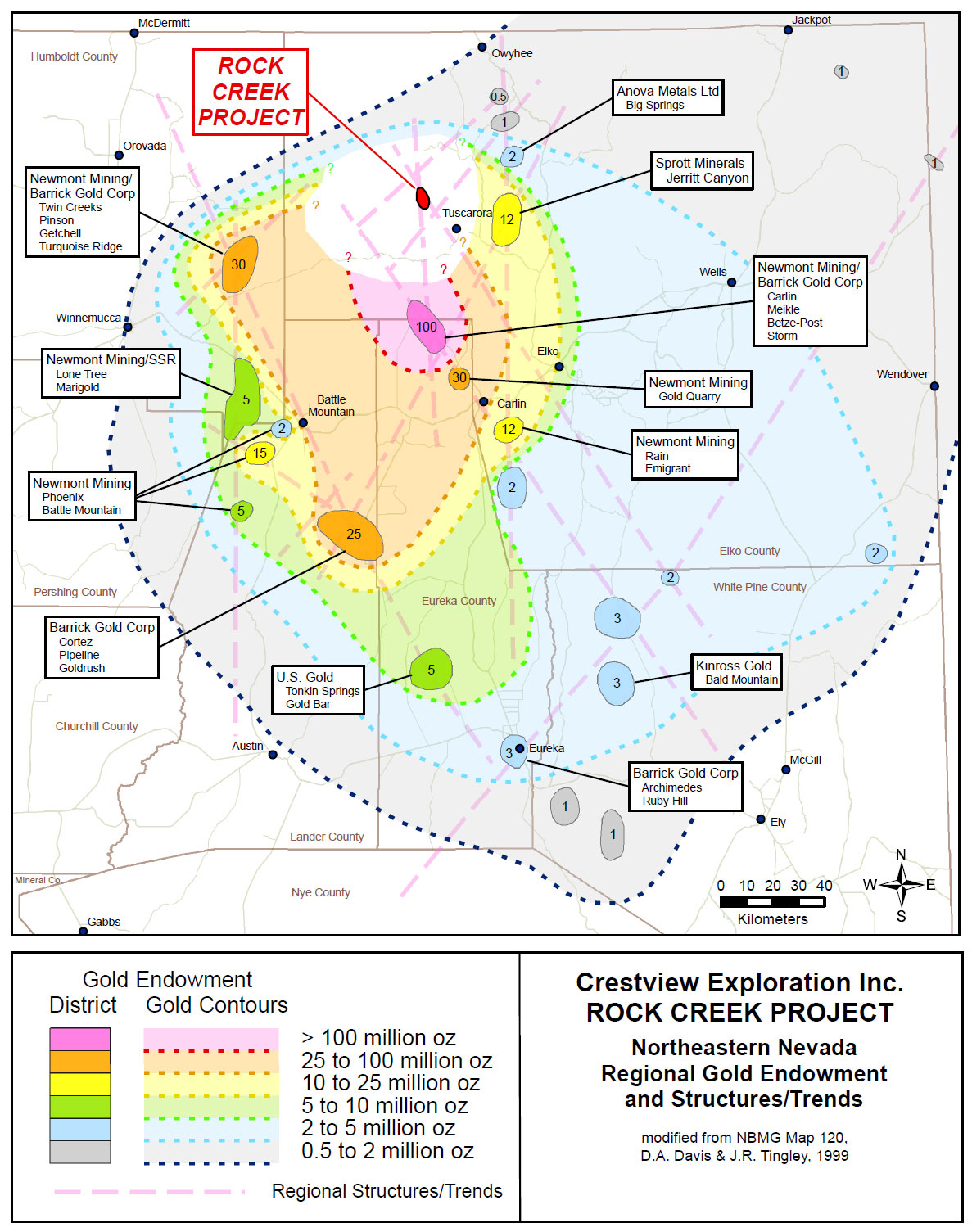
The Rock Creek, Falcon, Divide, and Castile Mountain properties are all in the Tuscarora Mountains, located NE of the prolific Carlin Trend in Elko County, NV. The properties are in close proximity to major gold deposits on 3 sides, with Midas approximately 35 km to the WSW, Goldstrike approximately 45 km to the S, and Jerritt Canyon approximately 30 km to the East.
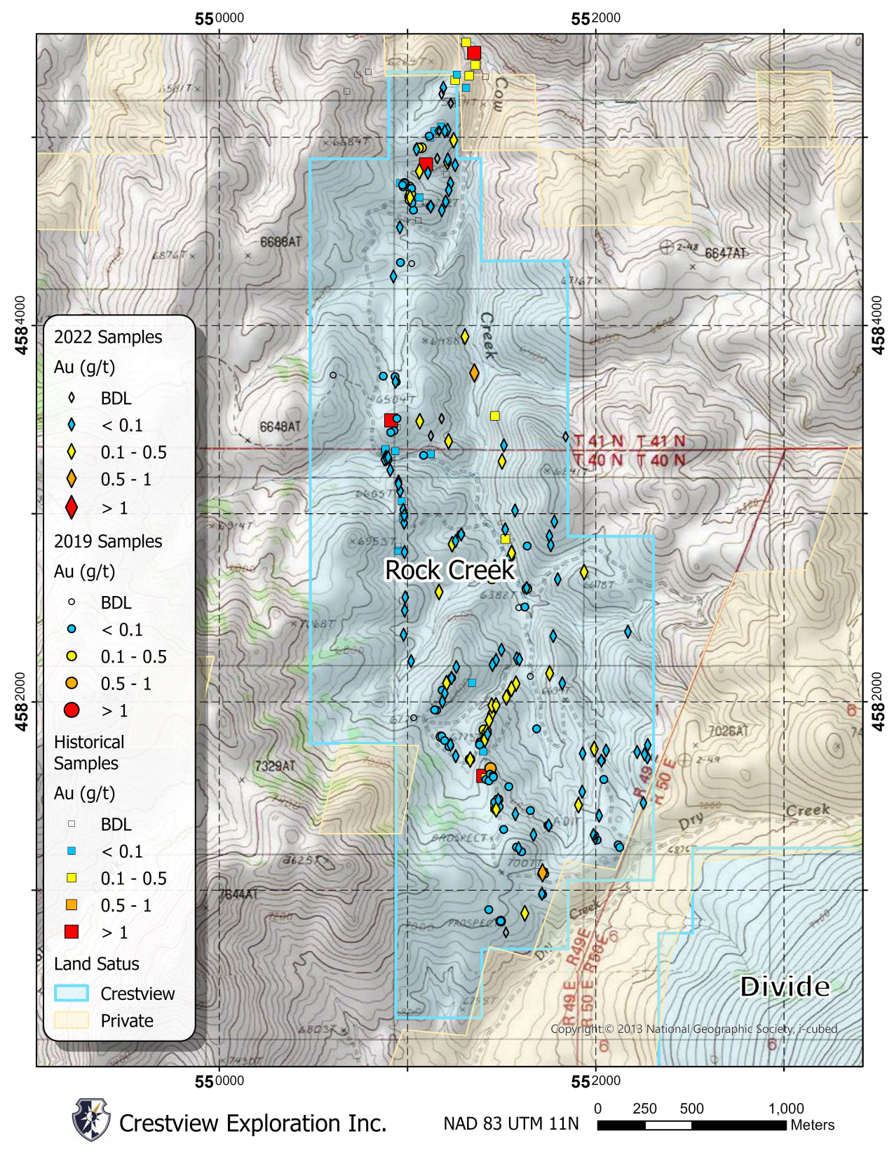
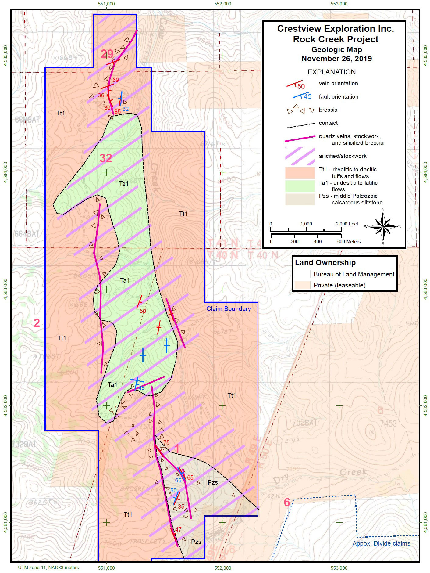
The Tertiary volcanic package at Rock Creek consists of:
- Flow-banded rhyolite (Tr) interpreted to be post-mineralization
- Dacite lava flows (Td) interpreted to be post-mineralization
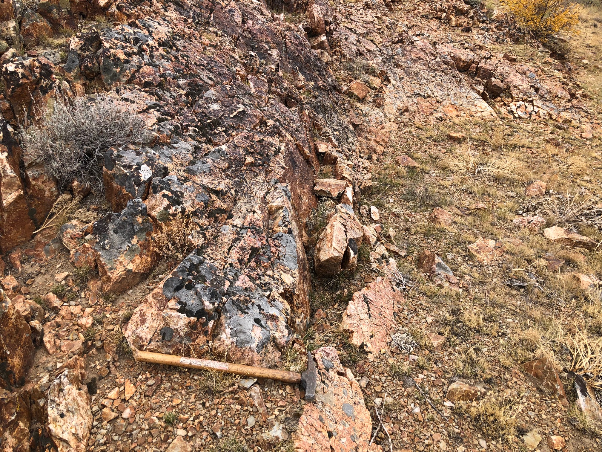
- Welded, intracaldera ash-flow tuff (Tct) main host of surface mineralization
- Andesite lava (Ta) host of surface mineralization
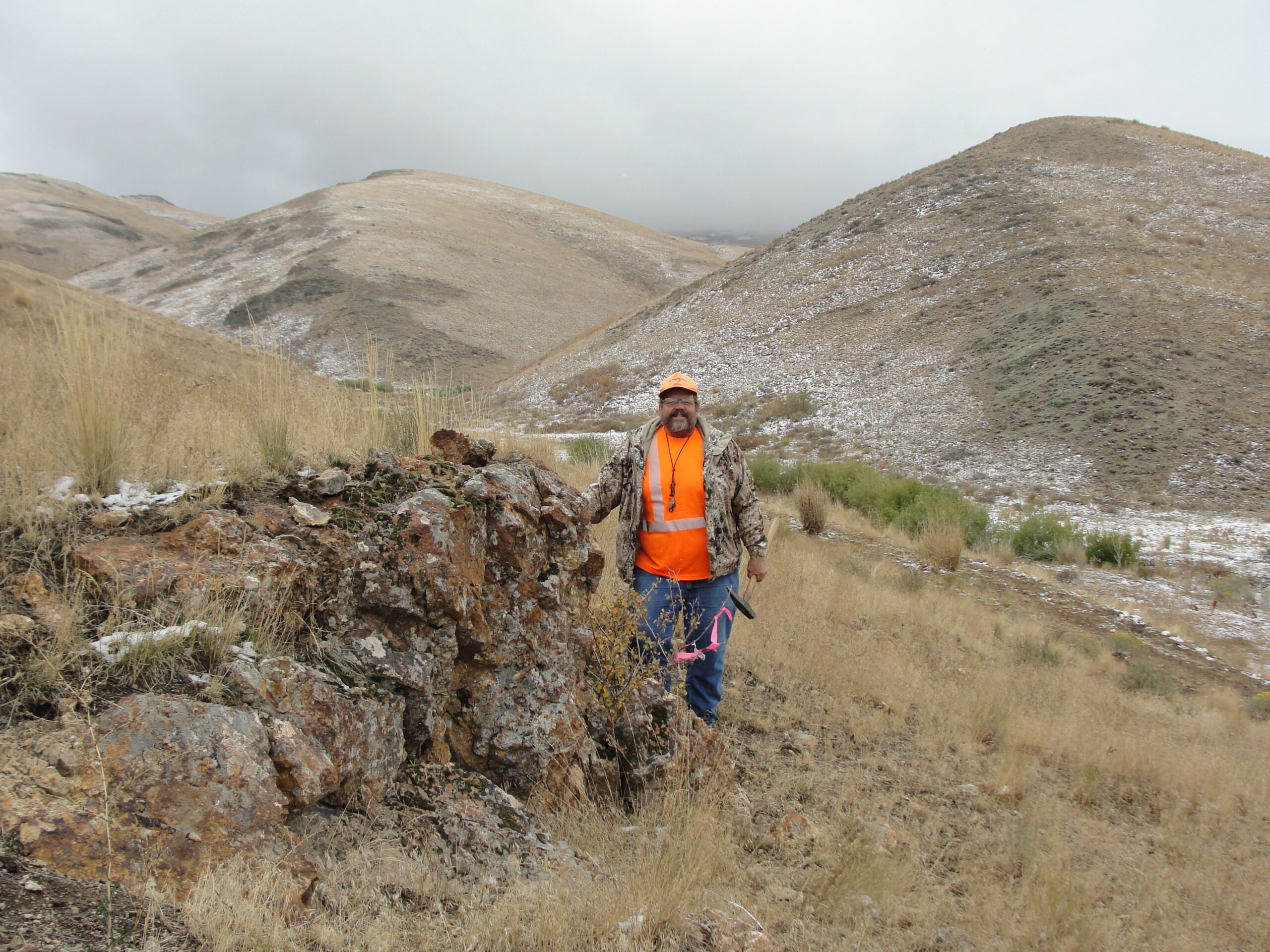
Exposed in the SE portion of the property, the Paleozoic package (Pz) consists of siltstone, bedded chert and quartzite and hosts quartz veins and stockworks and abundant Fe-oxide.
Upon completion of the geological mapping at Rock Creek, four conceptual targets are envisioned at the property, including 1) Veins and ore shoots in the volcanic package; 2) Deep-seated structures along the interpreted nested caldera; 3) Along the unconformity between the Tertiary volcanic rocks and the underlying Paleozoic meta-sedimentary rocks; and 4) Disseminated mineralization in the Paleozoic rocks at depth (Carlin-type).


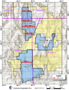
Four Hybrid-Source Audio Magnetotellurics (HSAMT) geophysical survey lines were carried out at Rock Creek, and one line was conducted at Falcon.
The Rock Creek lines were widely spaced across the property, and the line at Falcon was chosen to extend upon and verify the CSAMT survey data that Crestview inherited with the property acquisition.
The resulting resistivity profiles have been correlated with the surface mapping and interpreted at depth, and will be utilized for drill targeting.
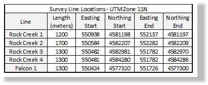
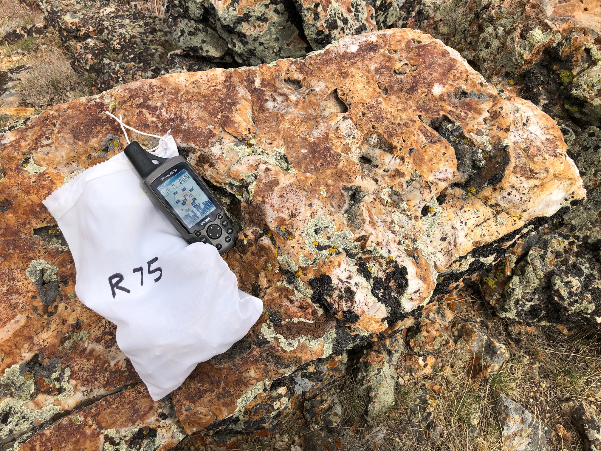
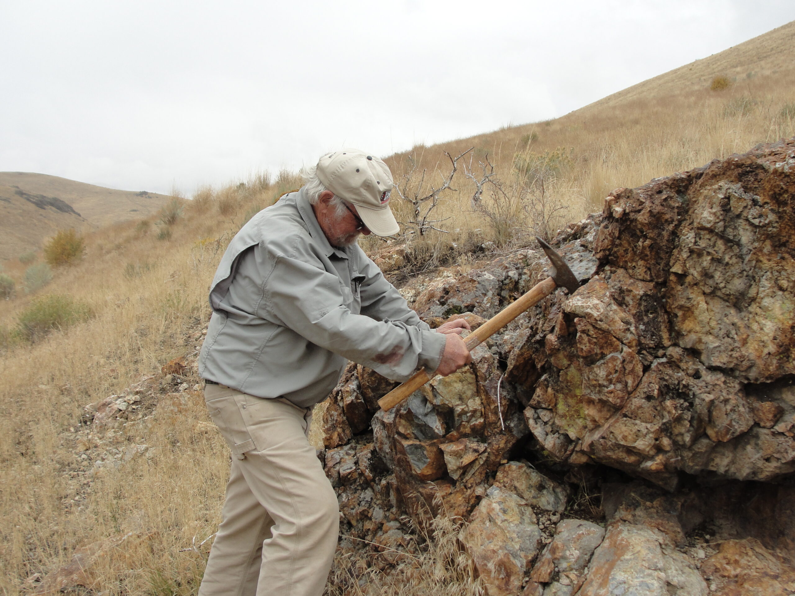
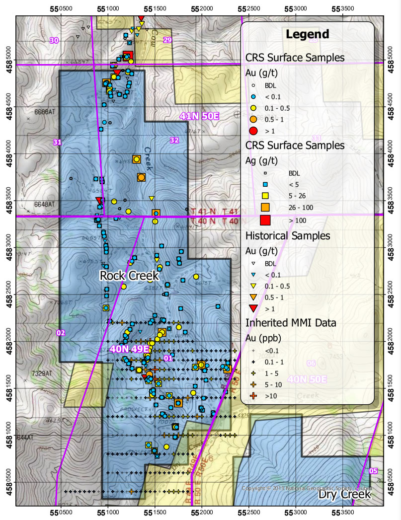
With over 200 samples collected to date, the surface sampling program at Rock Creek has demonstrated wide-spread anomalous gold and silver, including numerous samples with greater than 30 g/t Ag (including a sample of 121 g/t Ag), and samples with greater than 0.1 g/t Au (including four samples with greater than 0.5 g/t Au). Most of the sampling focused on epithermal quartz veins exposed in outcrop and historic prospect pits. The Rock Creek data also includes inherited gold assay results from historic sampling which included several samples greater than 1 g/t Au.
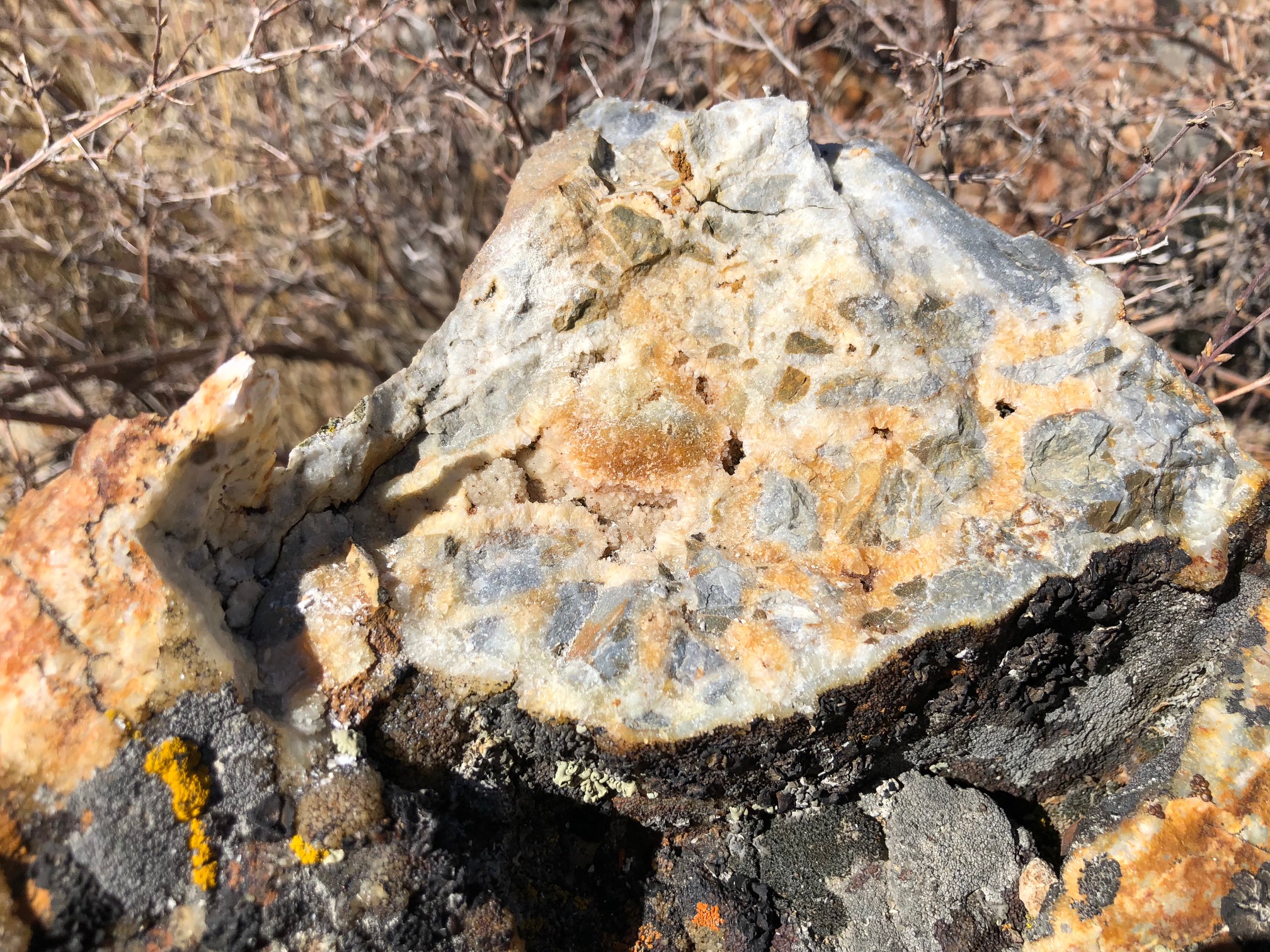
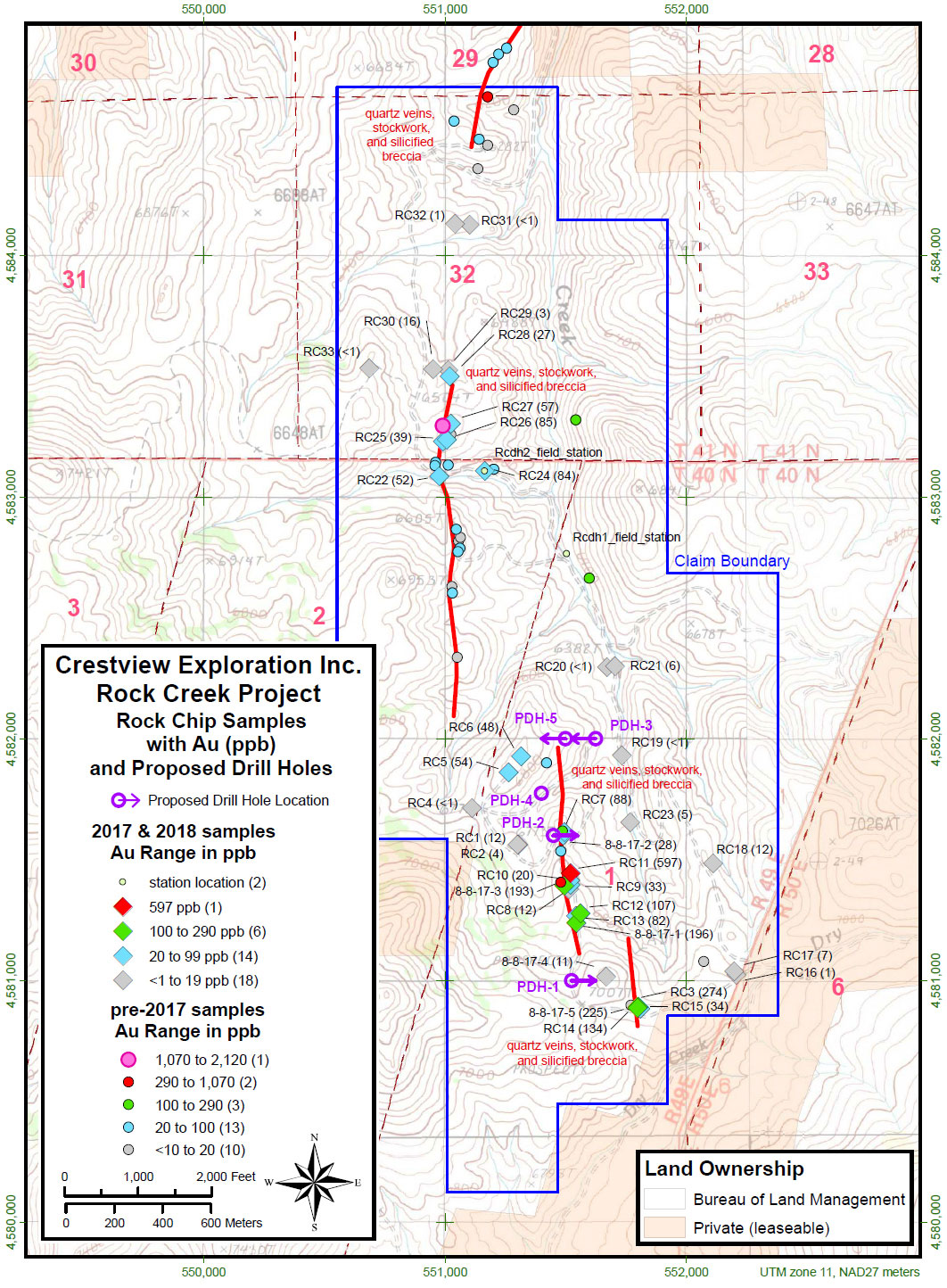
The faults and quartz veins delineate major structural trends of mineralization and alteration at Rock Creek. The quartz veins occur in several structural systems that dominate the entire Rock Creek property. Higher gold and silver grades correlate well with the presence of visible sulfides (arsenian pyrite) and jarosite in the quartz veins. Elevated arsenic and barium are ubiquitous in the samples, and there is a notable lack of mercury.
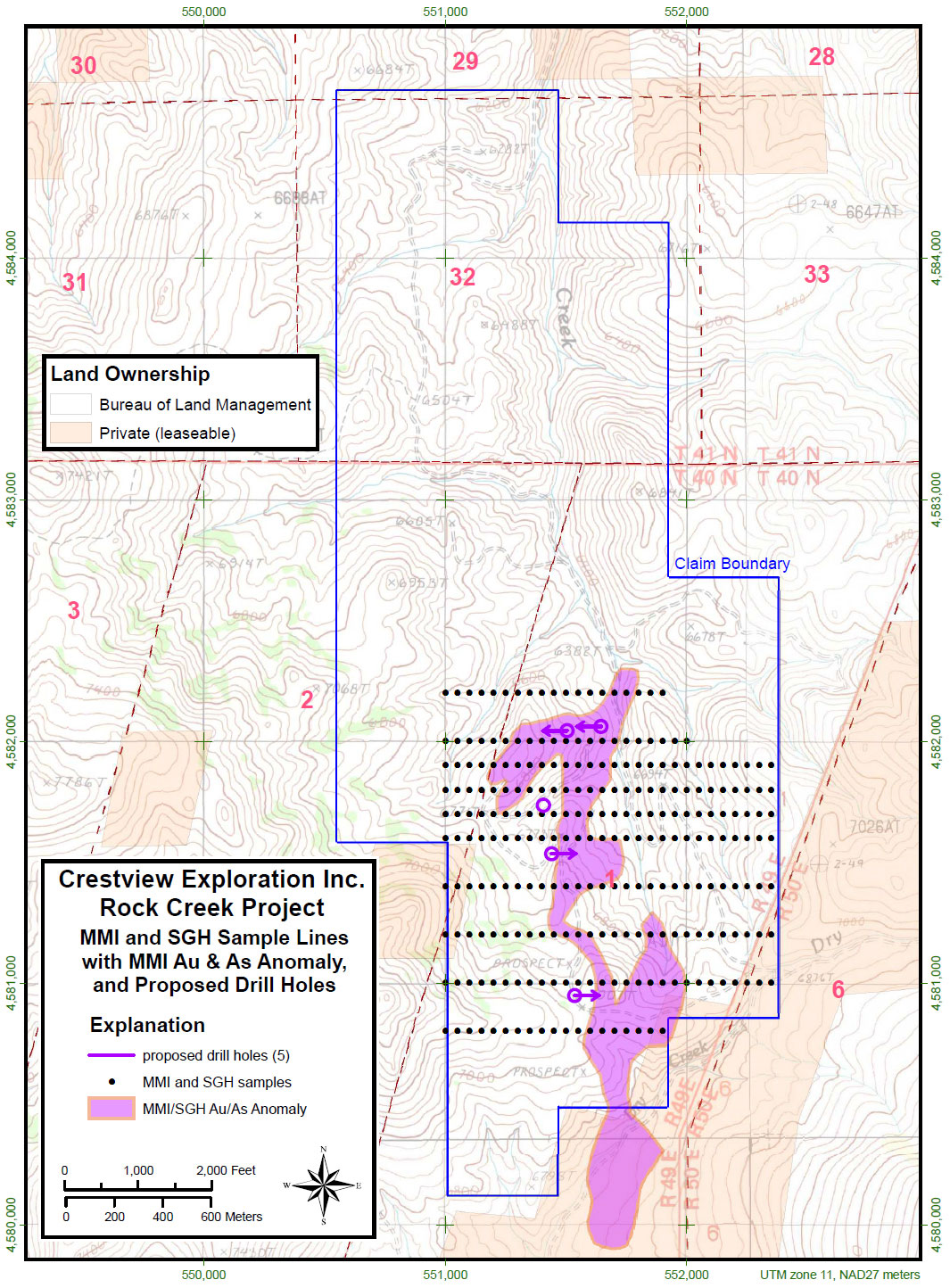
The mapping and sampling programs have identified one area where the lithological contact target is shallower than first believed, and an additional target in the north end of the project where anomalous gold and pathfinder elements cluster around a large area of stockwork quartz and vein breccia.
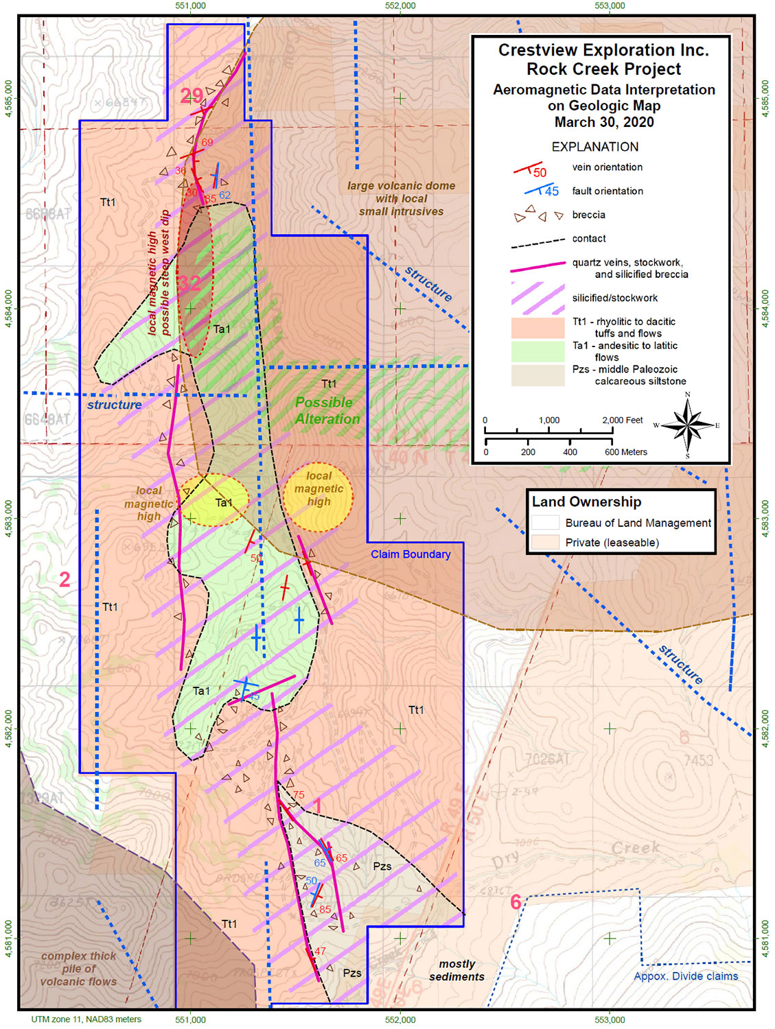
Rock Creek hosts two parallel north-south gold mineralized vein-breccia structures which run the length of the property. Historic drill data for the project shows the early drilling encountered gold mineralized Paleozoic silty carbonate rocks at depth and proximal to the structures. The Paleozoic sedimentary rocks share many of the characteristics of the favorable gold host rocks found on the Carlin Trend; specifically, those at the Meikle mine located approximately 20 miles (32 km) to the south. These deep reaching structures acted as a plumbing system to allow gold mineralizing fluids into the favorable host rocks as found by the shallow early drilling on the project. None of these early holes tested the favorable rocks below a depth of 500 ft. (152 meters) as most of the holes were terminated much sooner. Where these Paleozoic rocks are proximal to the structures represent excellent drill targets.


-
- Tuscarora-HSAMT
Stay In Touch